

(Oakridge is a residential area bounded by the Credit River on the north and east, North Sheridan landfill site on the west, and the QEW on the south.)
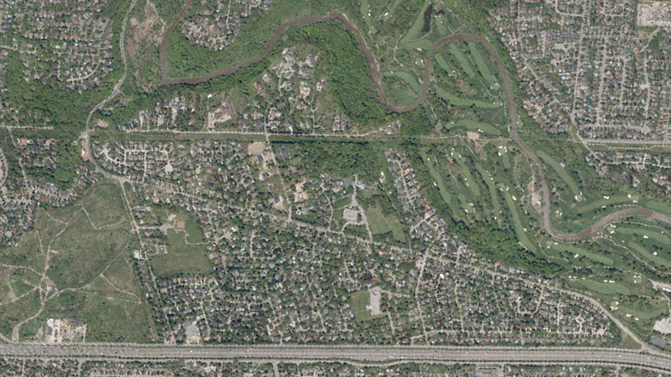
The modern landscape often hides clues, albeit in plain sight, from its history. Residential development is very much part of our story here in Mississauga, and some of the early subdivisions have interesting tales of their own to explore, such as the Oakridge community along Mississauga Road.
In simple terms, there is no singular date for the establishment of what is now the Oakridge community.
The area defined at Oakridge by the ratepayers’ association consists, in terms historical developments, of several unrelated subdivision developments over time that, due to their close proximity, merged together to create the residential landscape along Mississauga Road we see today.
Prior to suburban development, the area consisted largely of small acreage rural/agricultural properties; with the exception of several estate properties that had been developed in the 1920s into the 1940s – these included J.P. Bickell’s “Arcadia”, Alexander Fasken’s “IALFA”, William Dean’s “Oakridge”, and Roy Thomson’s “Glades of Fleet”, amongst others.
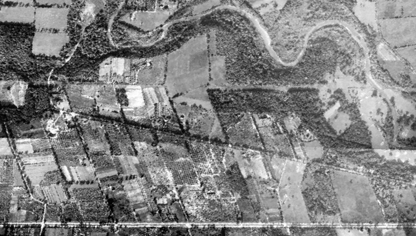
The earliest development took place along what is now Stonehouse Crescent and Shawanaga Trail, south of Mississauga Road, between 1953 and 1959, as part of the severance of the Patchett farm. A reference for a subdivision plan was passed by Toronto Township on June 17, 1948. Another Bylaw was passed on June 1, 1954 for subdivision control.
On August 31, 1954 the McCleary property (originally part of Roy Thomson’s “Glades of Fleet” estate) was sold to Model Home Builders Limited / Induco Construction for subdivision development.
This encompassed the area between Stonehouse Crescent and Beaverbrook Way. A holding company was also involved in this area in the 1960s and 1970s called Geran Holdings Limited, from which Geran Crescent takes its name. Also in this mix was the Mississauga Estate Development Corporation.
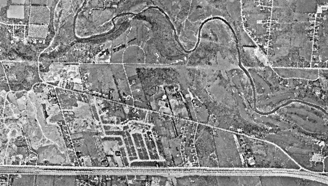
This subdivision was developed between 1975 and 1985 and was marketed as the Glades of Fleet (after the name given to the Roy Thomson property).
Fleet Street and Beaverbrook Way take their name inspiration from this connection. John Paris Bickell, Roy Thomson Sr. (1st Baron Thomson of Fleet), and Max Aitken (1st Baron Beaverbrook), were all active in similar circumstances during the Second World War in terms of supporting the war effort through business endeavours. J.P. Bickell and Roy Thomson both owned properties along Mississauga Road.
Between 1963 and 1967, the west end of Oakridge, abutting the former Sherman’s Gravel Pit / landfill, was developed separately as the Portway Subdivision (also referred to as Westport), which interestingly was an early name submission in 1967 for what would become the Town of Mississauga.
There are other smaller subdivisions and developments in this area as well, which, from a landscape perspective, more-or-less merged together to create the Oakridge community we see today.
Interestingly, the Oakridge Community (and Oakridge Trail) takes its name from the William George Dean Estate (now the Felician Sisters Convent at 2165 Mississauga Road), which was called “Oakridge” during Dean’s ownership, between 1932 and 1948. Dean was a director of the Eaton’s Company.
The Felician Sisters purchased the property in 1961. Some reminders of the past landscape include surviving gate posts and low stone walls.
Layers of our history, its stories, and its evolution, peak through on the landscape in fascinating ways.
Comments are closed.